The Science Behind Wild Turkey Conservation Across the Great Plains
From the rolling grasslands of Montana and Wyoming to the agricultural landscapes of Kansas, Oklahoma and Texas, there is seemingly no shortage of room for wildlife. But for wild turkeys, usable habitat can be surprisingly concentrated.
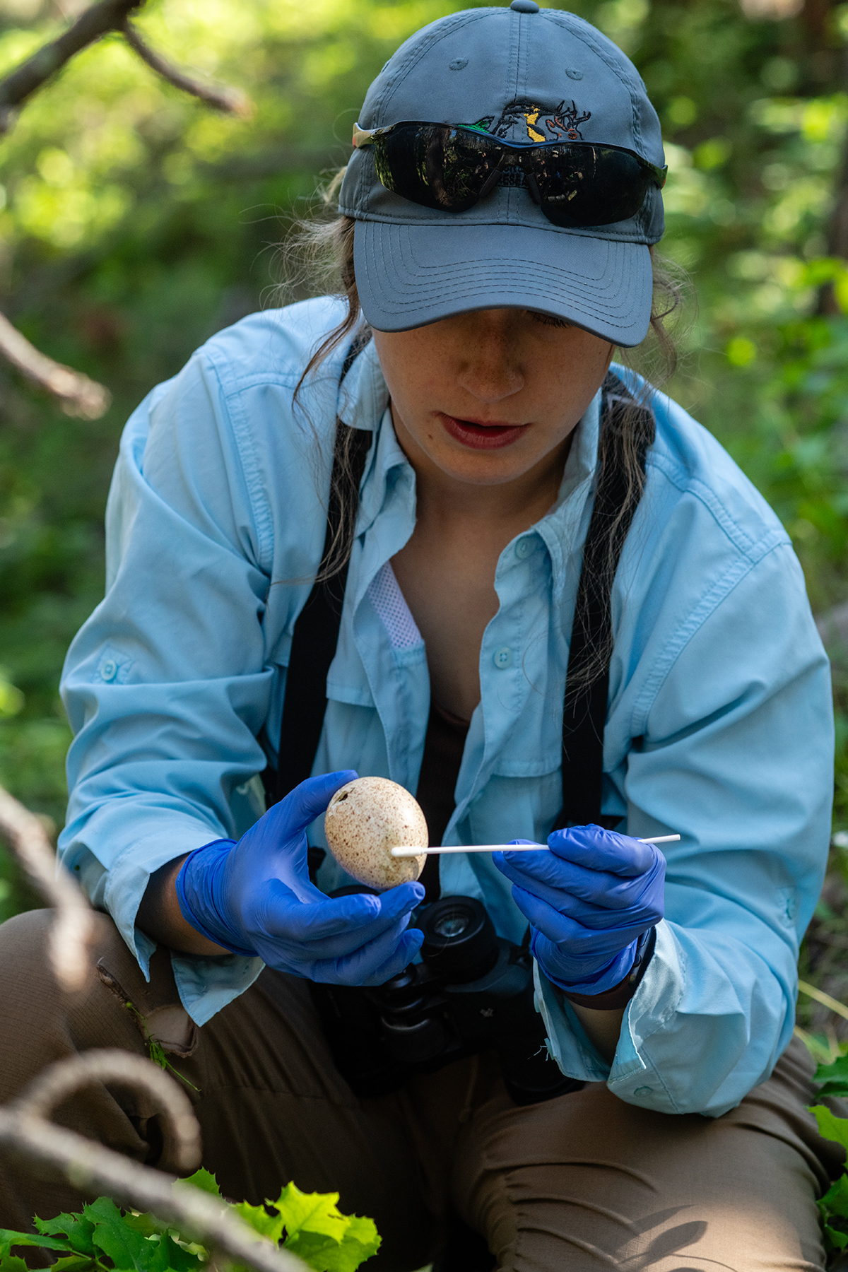
In an open, moisture-limited landscape, a creek bottom lined with mature cottonwoods, a reliable water source or a large tree suitable for roosting can mean the difference between a landscape turkeys can cross and one they can actually live in. That reality has shaped decades of wild turkey research across the Great Plains.
Researchers have spent generations trying to understand how Rio Grande and Merriam’s wild turkeys navigate an environment where resources are unevenly distributed and where drought, changing river systems, wildfire, forest health and human development can quickly alter the places birds depend on.
Today, new technology is giving biologists an increasingly precise view of those relationships. And that matters because when researchers understand where turkeys go and what they need, conservationists can put habitat work where it will matter most.
Learning Where Turkeys Live
Some of the earliest Great Plains turkey research focused on a fundamental question: Could wild turkeys successfully survive and reproduce in these landscapes?
In Texas, W.C. Glazener helped establish foundational methods for capturing and handling Rio Grande wild turkeys, while Samuel Beasom's work in South Texas demonstrated a relationship that remains central to turkey management today: rainfall and soil moisture can have a major influence on turkey productivity. Other researchers, including Fred Guthery, expanded the understanding of how rangeland management and habitat conditions influence wild turkeys.
As restoration efforts expanded throughout Texas and Oklahoma, researchers increasingly studied why some translocations succeeded while others failed. In a region where drought and habitat fragmentation could isolate birds from the resources they needed, simply putting turkeys on the landscape was not enough.
Biologists needed to understand what happened after the release, asking questions such as where did the birds go, how large of an area did they need, which habitat did they select, and, perhaps most importantly, what features of the landscape allowed them to survive?
Those questions ushered in one of the most important eras of Great Plains turkey research.
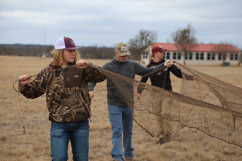
Beginning in the 1980s and continuing into the 2000s, researchers at Texas Tech University and the Caesar Kleberg Wildlife Research Institute used radio telemetry to track Rio Grande turkeys across the Texas Panhandle and southwestern Kansas.
Researchers, including Drs. Warren Ballard, Mark Wallace, Bret Collier and Roger Applegate produced some of the region's most detailed information on turkey movements, home ranges and habitat selection, and the scale of the work was remarkable.
One 2000–2004 telemetry effort recorded 44,526 locations from 1,253 radio-marked birds. The findings reinforced something that field biologists had long suspected: in the Great Plains, riparian areas are disproportionately important to wild turkeys.
Turkeys moved through enormous home ranges, but their use of the landscape was not evenly distributed. Vegetation along rivers and streams provided food, cover, nesting habitat, brood-rearing areas and roosting opportunities in a landscape where those resources can be scarce.
Research was beginning to show that a relatively small portion of the landscape could have an outsized influence on an entire turkey population. That finding is at the heart of the NWTF's Waterways for Wildlife Initiative.
When the River Changes, the Habitat Changes
The importance of riparian habitat became even clearer as researchers began examining what was happening to the rivers themselves. Across portions of the Great Plains, changes to river flows have affected the regeneration of cottonwood forests — some of the most important trees available to wild turkeys along otherwise open landscapes.
A 2000–2006 survey measured 3,832 cottonwood trees along three Rolling Plains rivers and one Kansas river and found no natural cottonwood regeneration across the surveyed areas. The finding illustrated a problem that can be easy to overlook when looking at a river from a distance.
A river may still be there, with water still flowing through the channel, but if young trees cannot replace aging cottonwoods, the forest along that river can gradually disappear. For a wild turkey, that means losing roost trees, nesting cover and the dense vegetation that provides important habitat for hens and poults. This research transformed what might have looked like a simple river-management issue into a wildlife-conservation issue.
Technological Advancement
The technology researchers use to answer these questions has also changed. For decades, VHF radio telemetry required biologists to locate birds manually in the field. The approach produced foundational information about movements, survival and habitat use, but researchers were limited in how many locations they could collect. GPS technology has changed that equation.
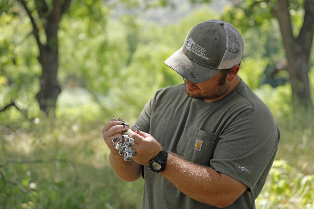
Modern transmitters can collect hundreds or thousands of locations from a single bird and, increasingly, transmit those data remotely. Researchers can examine movements at a scale that was impossible when biologists were following radio signals from the ground, and this technology is especially valuable in the Great Plains.
A bird moving across a landscape of thousands of acres may appear to be using everything equally when viewed from a distance, but GPS data can reveal repeated movements toward particular river corridors, specific roosting areas or habitat patches that become especially important during nesting and brood-rearing. The technology allows researchers to move from asking where turkeys are to understanding why they are there.
Waterways for Wildlife
That distinction is at the center of NWTF's Waterways for Wildlife initiative. The goal is not simply to improve a stream because turkeys happen to use it; it is to recognize the broader role healthy waterways play in supporting entire wildlife communities.
When a river or stream has functioning riparian vegetation, it can provide shade, stabilize streambanks, slow erosion and create habitat for insects and other wildlife. Overhanging vegetation also provides important cover for fish and helps shade the water, keeping temperatures cooler and creating healthier conditions for aquatic species. Mature trees provide roosting sites. Young vegetation provides cover. Water supports the plants, insects and other food resources that turkeys need. In a Great Plains landscape where these resources are concentrated, improving a waterway can improve much more than the water itself.
In Nebraska, NWTF's national research investments are supporting focused research questions, including a study examining how nest predators and habitat conditions influence nest survival in agricultural landscapes. In Kansas, researchers are using hundreds of GPS-marked turkeys across multiple sites to examine survival, nest success, predator communities and habitat use at a landscape scale.
NWTF's research investments are also helping answer management questions in Oklahoma and Texas. A 2025 NWTF Research Grants Program award is supporting researchers studying how hunting pressure on public land affects turkey survival and population size in western Oklahoma, building on a larger state-funded project using GPS transmitters, cameras and acoustic surveys. In Texas, researchers continue to examine Rio Grande turkey habitat use, seasonal survival, reproduction and genetics across a landscape where water and riparian habitat can be especially important. Together, these projects demonstrate how NWTF's national research program can leverage state and university funding to answer practical questions about wild turkey populations — and ultimately turn that information into better habitat management on the ground.
Looking to the Future
The Great Plains still presents some of the most important unanswered questions in western turkey conservation. At the same time, modern GPS technology is giving researchers an opportunity to revisit questions that scientists first began asking decades ago. Where are turkeys moving today, and are the same waterways and roost sites still as important as they were in the past? How do birds respond when riparian habitat is restored, and how far will they travel to reach the food, water and roosting habitat they need? Perhaps most importantly, can targeted habitat work turn a landscape turkeys simply pass through into one where they can thrive?
Answering those questions will help determine where conservation dollars and on-the-ground work can have the greatest impact. The future of Waterways for Wildlife will depend not only on restoring streams and planting trees, but on understanding why those places matter to wildlife in the first place.
For NWTF members, that means a research project can eventually become a restored streambank. A GPS location can help identify a critical habitat corridor. A cottonwood study can lead to a restoration project. And a better understanding of how turkeys use water and riparian habitat can help guide conservation across an entire watershed.
The Great Plains may be vast, but the places that matter most to wild turkeys are often concentrated. Waterways for Wildlife is about finding those places, understanding them and putting conservation to work where it can make the biggest difference.
When healthy waterways support healthy habitat, they support more than turkeys. They support the landscapes, wildlife and hunting traditions that depend on them.